12 Dec New Interactive Snowmobile Trail Map App Launched for Adirondack Regions
December, 2020
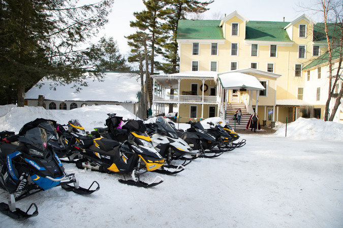
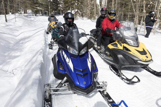
Adirondacks, USA – Snowmobilers in the Adirondacks will now have access to an interactive trail map on their phone to better plan their outdoor riding adventures in one of the largest trail networks in New York state.
The new, free Adirondacks, USA snowmobile app contains information about the trails in Essex, Franklin and Hamilton counties, and nearby gas stations, stores, restaurants and lodging properties that welcome sledders. More trails in neighboring counties will eventually be added to provide a more comprehensive map.

The interactive map gives the sledder’s location with real-time GPS. Plug in a destination and the route will appear, tap on the trails near you to identify your route, or use the search feature to find the trail you are looking for.
Backcountry riders will be glad to know that the app was designed with offline functionality, and its new mapping engine was specially created to work in areas with little to no cell service once it has been downloaded.
Created by the Regional Office of Sustainable Tourism (ROOST), the destination marketing organization for Essex, Franklin and Hamilton counties, the app is available for both iPhone and Android and can be downloaded at the app store.
“Our landscape is criss-crossed with hundreds of miles of well-maintained, professionally-groomed and natural trails that are perfect for snowmobile enthusiasts,” said ROOST’s Director of Digital Services Jasen Lawrence. “We want to make it easier for riders to plan their excursions through our beautiful trail network and connect them with the full range of amenities available in our Adirondack communities.”
This is the first phase of the ADK Snowmobile app. ROOST is looking to add other features in the future including weather and turn-by-turn directions.
###
No Comments